


6,9 km | 10 km-effort

Utilisateur


Application GPS de randonnée GRATUITE
 SityTrail
IGN / Instituts géographiques
SityTrail World
Le monde est à vous
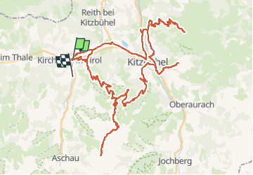
Randonnée V.T.T. de 73 km à découvrir à Tyrol, Bezirk Kitzbühel, Gemeinde Kirchberg in Tirol. Cette randonnée est proposée par Pataltorf.
avec E-bike

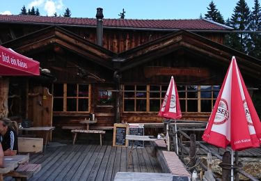
![Randonnée A pied Gemeinde Söll - [40] Wanderweg - Brandstadl - Photo](https://media.geolcdn.com/t/375/260/ext.jpg?maxdim=2&url=https%3A%2F%2Fmedia.geolcdn.com%2Ff%2Ff5e792c0-e7a9-440a-9b2b-4120aabc3500.jpeg)
A pied

Marche
Trail

Marche
Marche
V.T.T.

Marche
Marche
Marche